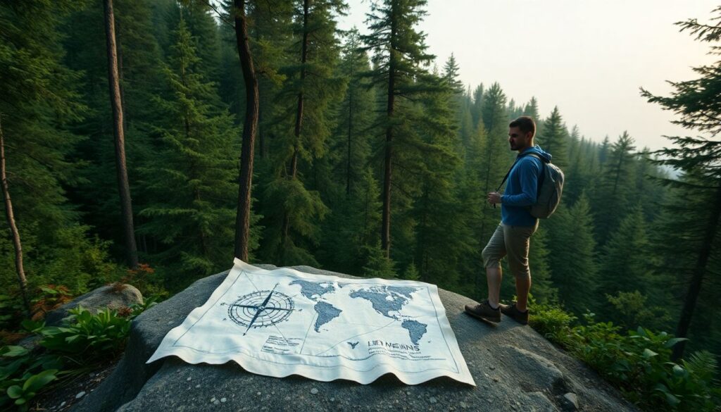
Have you ever found yourself in the great outdoors, miles away from the nearest city, with nothing but the clothes on your back and a burning desire to find your way home? Without the crutch of GPS or maps, the wilderness can seem like an intimidating, labyrinthine expanse. But what if we told you that the secret to survival navigation lies not in high-tech gadgets, but in the ancient art of reading the natural world around us? Welcome to the fascinating realm of wilderness orientation and natural navigation, where the sun, stars, plants, and even the wind can guide your path. In this comprehensive guide, we’re going to delve into the lost art of navigating without modern tools, helping you to regain your bearings and find your way home, no matter where you are. So, grab your compass (or a makeshift one), and let’s embark on this exciting journey together.
Did you know that humans have been navigating their way across the globe for thousands of years, long before the advent of satellites and smartphones? From the ancient Polynesians who traversed the vast Pacific Ocean using only the stars and waves as their guides, to the Inuit who traversed the Arctic tundra with nothing but the wind and the sun to keep them on course, our ancestors were masters of natural navigation. Today, however, many of us have lost touch with these primal skills, relying instead on the convenience of digital maps and GPS systems. But what happens when the batteries die, or the signal is lost? What then? That’s where this article comes in.
In the following pages, we promise to equip you with the knowledge and techniques necessary to navigate the wilderness like a pro, using nothing but the natural world around you. We’ll explore the science behind the sun’s movement, the art of reading the stars, and the subtle clues that plants, animals, and even the weather can provide. We’ll also delve into the fascinating world of orienteering, where the humble compass is king, and the ability to plot a course on a hand-drawn map can mean the difference between life and death. By the end of this article, you’ll have the confidence and skills to find your way home, no matter where your adventures take you.
But before we dive in, let’s address the elephant in the room: why bother learning these skills in the age of GPS? Well, aside from the fact that it’s a fascinating and rewarding pursuit in its own right, there are numerous practical reasons why everyone should have a basic understanding of natural navigation. From ensuring your safety in remote areas, to preparing for natural disasters or grid-down scenarios, to simply deepening your connection with the natural world, the ability to navigate without modern tools is a valuable skill that everyone should have in their toolkit. So, whether you’re a seasoned hiker looking to expand your skillset, or a curious beginner eager to learn a new skill, we invite you to join us on this exciting journey into the world of survival navigation.
Unveiling the Art of Natural Navigation for Your Next Off-Grid Adventure
Embarking on an off-grid adventure is an exhilarating journey that allows us to reconnect with nature and challenge ourselves. However, navigating through the wilderness without the aid of modern technology can be daunting. This is where the art of natural navigation comes into play. Imagine traversing dense forests, crossing vast plains, or scaling towering peaks, all with nothing but the sun, stars, and the whispers of the wind to guide you. It’s a skill that harks back to our ancestors, a primal connection to the natural world that we’ve largely lost in our tech-driven society. But fear not, for it’s a skill that can be learned and mastered. By understanding the language of the sun, the moon, and the constellations, you can plot your course with confidence. By reading the signs in the landscape, the patterns in the plants, and the behavior of the wildlife, you can find your way home. So, why not leave the GPS behind and let the great outdoors be your map? After all, there’s no greater thrill than proving to yourself that you can navigate the world with nothing but your wits and the wonders of nature.
Understanding the Basics of Wilderness Orientation
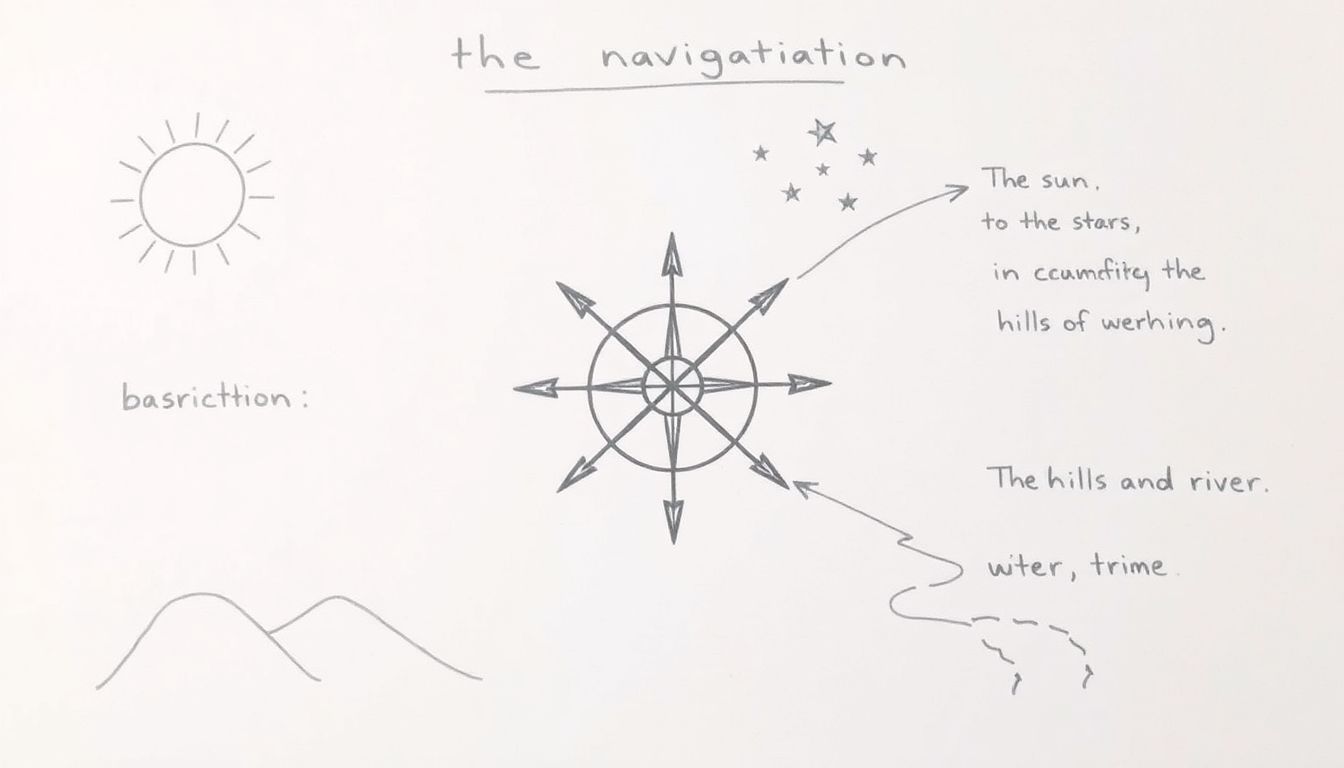
Embarking on a journey into the wilderness often presents us with a unique challenge: navigating through uncharted territories. This is where the concept of wilderness orientation comes into play, a skill set that transcends the typical use of maps and compasses, delving into the art of natural navigation. Understanding the basics of wilderness orientation is not just about reaching your destination; it’s about survival, about reading the landscape like a book written in the language of nature.
The importance of wilderness orientation in survival situations cannot be overstated. When lost, every decision made could mean the difference between finding your way back or being stranded. It’s about understanding the sun’s path, the stars’ alignment, and the subtle cues provided by the land itself. It’s about turning potential disorientation into a tool for orientation.
Natural navigation differs from regular navigation in its reliance on the environment rather than external tools. While a map and compass are invaluable, they are no substitute for understanding the natural world. The fundamental principles guiding natural navigation are as old as humanity itself. They involve using the sun’s position to determine direction, a skill that requires understanding the sun’s path throughout the day and the year. The stars, too, play a crucial role. Learning to recognize constellations and their movements can provide a reliable means of orientation, even at night.
Understanding land features is another key aspect of wilderness orientation. Rivers, mountains, valleys, and other natural formations can all provide valuable clues about direction and location. For instance, rivers often flow downhill, following the path of least resistance. Following a river downstream can lead you to lower elevations, and potentially, to civilization.
In essence, wilderness orientation is about more than just finding your way; it’s about understanding the language of the land. It’s about respecting the power of nature and learning to read its signs. It’s about turning potential disorientation into a tool for orientation, and in doing so, turning a wilderness into a familiar landscape.
The Sun: Your Ultimate Navigation Tool
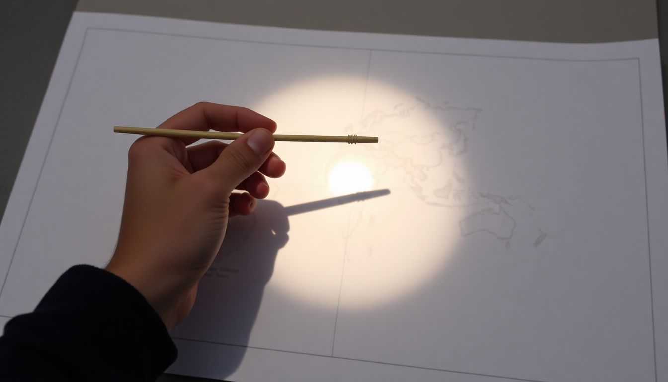
The Sun, a celestial body that has been guiding humans since time immemorial, is an invaluable tool for navigation. Its predictable movement across the sky provides a consistent reference point that can help you determine your direction, even in the absence of modern technology. To understand how to use the Sun for navigation, let’s first delve into the science behind its movement. The Sun appears to move across the sky due to the Earth’s rotation on its axis, completing a full circle every 24 hours. This movement is not uniform, however. Due to the Earth’s tilt and rotation, the Sun’s path, known as the analemma, is not a straight line but a figure-eight shape. This variation in the Sun’s path is what causes the seasons, but for our purposes, it’s important to note that the Sun’s position in the sky changes throughout the year. When using the Sun for navigation, it’s crucial to understand the concept of true north. True north is the direction that points directly towards the geographic North Pole. It’s the north that we typically think of when we talk about north. However, the Earth’s magnetic field also creates a magnetic north, which is the direction that a compass needle points. These two norths are not the same, and the difference between them is known as declination. Declination is the angle between true north and magnetic north. It varies depending on your location on Earth and can range from 0 to 180 degrees. Understanding declination is vital for accurate navigation because it allows you to correct for the difference between the direction your compass is pointing and the direction you want to go. Now, let’s discuss how to create a simple solar compass and use it to find your way. A solar compass is a device that uses the Sun’s position to determine direction. The most basic form of a solar compass is a stick and a shadow. Here’s how to use it:
- Find a flat, level surface, such as the ground or a rock.
- Insert your stick vertically into the ground. If you’re using a rock, place it on a flat surface.
- Mark the tip of the stick’s shadow. This is your starting point.
- Wait for about 15 minutes, then mark the new tip of the shadow. This will create a line that is roughly east-west.
- The line between your two marks points roughly east in the morning and west in the afternoon. The direction perpendicular to this line is north-south.
In the Northern Hemisphere, the Sun rises in the east and sets in the west. Therefore, in the morning, the shadow will point west, and in the afternoon, it will point east. This means that north will be to the south of the stick in the morning and to the north of the stick in the afternoon. Remember, this method is not perfect. The Sun’s position changes throughout the year, and the Earth’s atmosphere can cause the Sun’s position to vary slightly from its true position. However, with a basic understanding of the Sun’s movement and a little practice, a solar compass can be a reliable tool for navigation. So, the next time you find yourself without a compass or a GPS, don’t despair. Look up at the Sun, and let it guide you on your way. After all, it’s been doing so for millions of years, long before we had any other tools to help us find our way.

Star Navigation: Finding Your Way at Night
Embarking on a journey through the night sky to find your way is an ancient art that has guided explorers, sailors, and wanderers for centuries. In the Northern Hemisphere, the stars are our trusted companions, their constellations like familiar faces in the vast celestial canvas. Let’s delve into the enchanting world of star navigation, focusing on key constellations and the North Star, Polaris, your steadfast guide.
The first step in navigating by the stars is to identify the constellations. Imagine the night sky as a grand map, with constellations marked as significant landmarks. In the Northern Hemisphere, some of the most prominent constellations are Ursa Major (the Great Bear), Ursa Minor (the Little Bear), Cassiopeia, and Orion. Ursa Major, with its distinctive ‘Big Dipper’ shape, is a great starting point. Trace a line from the two stars at the outer edge of the dipper’s bowl, extending it about five times the distance between the stars. This line points towards Polaris, the North Star.
Once you’ve located Polaris, you’ve found your north. But how can you use this to determine your latitude? Here’s a simple method: hold out your arm with your index finger pointing at Polaris. The angle between your finger and the horizon is approximately your latitude. For instance, if your finger is 45 degrees above the horizon, you’re roughly 45 degrees north of the equator.
Now, let’s use these stars to find your direction of travel. Polaris, being the North Star, always points north. If you’re in the Northern Hemisphere, it’s above the horizon and never moves, making it an invaluable compass. To find east and west, use the constellations. For example, in the Northern Hemisphere, Orion rises in the east and sets in the west. By learning the rising and setting patterns of these constellations, you can determine your east-west direction.
Star navigation is a skill that requires patience and practice, but it’s a rewarding one. It connects us to our ancestors who relied on the stars for survival, and it reminds us of our place in the vast, cosmic dance of the universe.
The Role of Land Features in Navigation
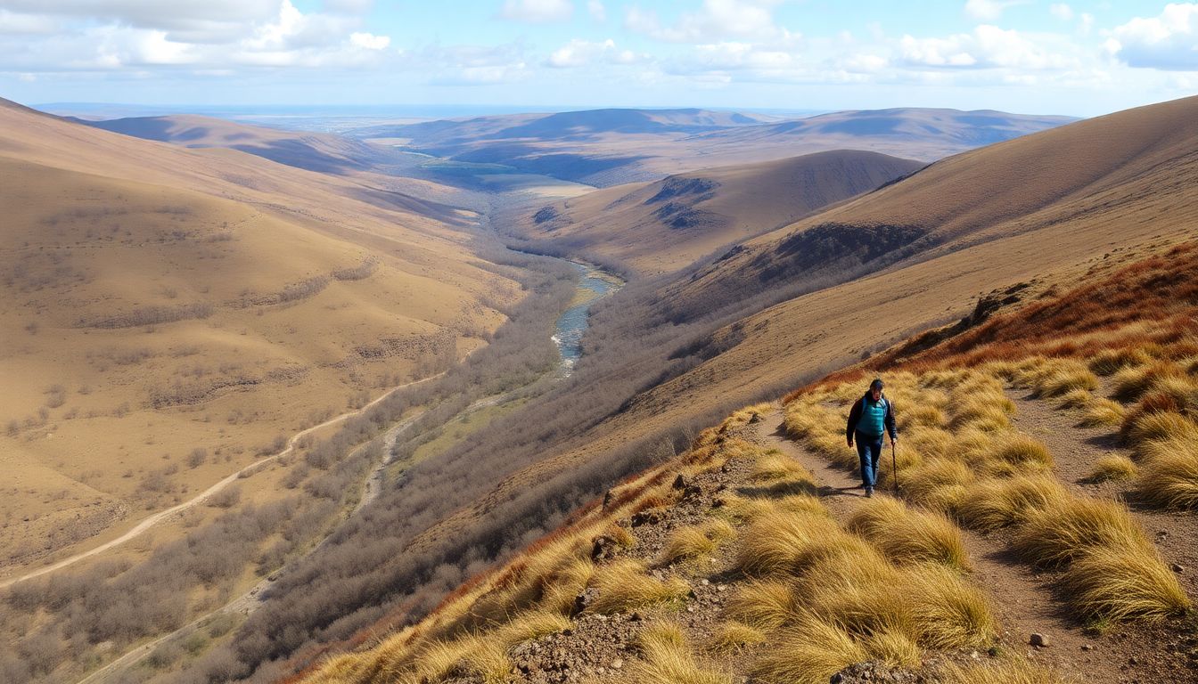
Navigating through the great outdoors is an art that has been honed by humans for centuries, and one of the most reliable tools at our disposal is the natural landscape itself. Hills, valleys, rivers, and coastlines are not just scenic features; they are our guides, our ‘handrails’ as they are often referred to in navigation. These handrails are like the guardrails on a staircase, helping us stay on track and move forward with confidence. Take, for instance, the humble hill. It’s not just a place to enjoy a panoramic view; it’s a beacon that can guide you home. In the morning, the sun rises on the eastern side, casting a long shadow to the west. This can help you determine your direction. Similarly, at night, the North Star, Polaris, can be located by finding the two stars that make up the ‘pointers’ in the constellation Ursa Major, or the Big Dipper. Once you’ve found Polaris, you can use the hill’s shadow to align yourself north-south. Rivers and coastlines are other excellent navigational aids. They flow in a consistent direction, often from highlands to lowlands. Following a river downstream can lead you to a larger body of water, like a lake or the ocean. Coastlines, too, can be followed, with the tide typically flowing out to sea. This can help you determine if you’re moving towards or away from the shore. The concept of ‘terrain association’ is also crucial. This involves using the relationship between different land features to help you navigate. For example, a valley is often found at the base of a hill or mountain range. If you know you’re looking for a valley, and you see a hill, you can reasonably assume that a valley might be nearby. This association can help you predict where you might find other features, like a river or a lake. In practice, using these features effectively involves a combination of observation, deduction, and a bit of common sense. It’s about understanding the natural world and how its various components interact with one another. It’s about looking at a hill not just as a hill, but as a potential landmark, a handrail that can guide you on your journey. And it’s about understanding that navigation is not just about finding your way from point A to point B, but about engaging with the world around you, learning from it, and using that knowledge to help you move forward.
Creating and Reading Improvised Maps
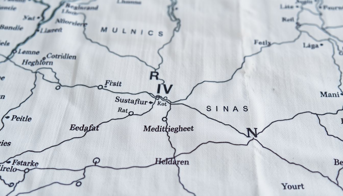
In the spirit of adventure and resourcefulness, let’s explore the art of creating and reading improvised maps using found materials. This skill, honed by ancient explorers and modern-day survivalists alike, can turn a simple walk in the woods into a fascinating journey of discovery.
To create your improvised map, start by gathering your materials. Leaves, bark, and even sand can serve as your canvas. A stick or a stone can be your drawing tool. Remember, the key is to use what’s around you, making your map truly one-of-a-kind.
Begin by establishing a scale. This could be as simple as one inch on your map representing five feet in reality. Once you’ve decided on your scale, it’s time to start recording your journey.
Use clear, concise symbols to represent landmarks. A triangle could denote a hill, a circle a body of water, and a line of dashes a fence. Consistency is key here; use the same symbol each time you encounter the same feature.
Recording distances and directions accurately is crucial. Use your scale to measure distances between landmarks. For directions, you can use a simple compass rose or note cardinal directions (north, south, east, west) along your route.
Now, let’s talk about reading and interpreting these improvised maps. Start by familiarizing yourself with the scale. This will give you a sense of the distances involved. Then, look for landmarks. These should jump out at you, clearly marked with your symbols.
Follow your route, using the distances and directions to guide you. If you come across a fork in the road, for example, check your map. It should show you which path to take, based on the landmarks and distances you’ve recorded.
Remember, these maps are not perfect. They’re meant to be rough guides, aids to your memory and observation. Trust your instincts, and don’t be afraid to update your map as you go. After all, every step you take is a new discovery, a new piece of the puzzle.
So, go forth, explorer! With a little creativity and a keen eye, you can turn the world into your canvas, and your journey into a story worth telling.
The Art of Dead Reckoning
Dead reckoning, an ancient art of navigation, is the process of estimating one’s current position based on a previously determined position, or ‘fix’, and the direction and distance traveled since that fix. It’s a crucial skill in survival situations, where modern navigation tools may not be available. The concept is simple yet profound: if you know where you started, the direction you’ve been traveling, and how far you’ve gone, you can estimate where you are.
Estimating distance traveled is the first step. In water, this can be done by counting strokes or using a logline, a simple device made from a length of line with a small piece of cloth or cork tied to one end. On land, steps can be counted or paces measured. For example, a typical adult’s pace is about 2.5 feet, so 1,000 paces would cover approximately 2,500 feet or about 0.47 miles.
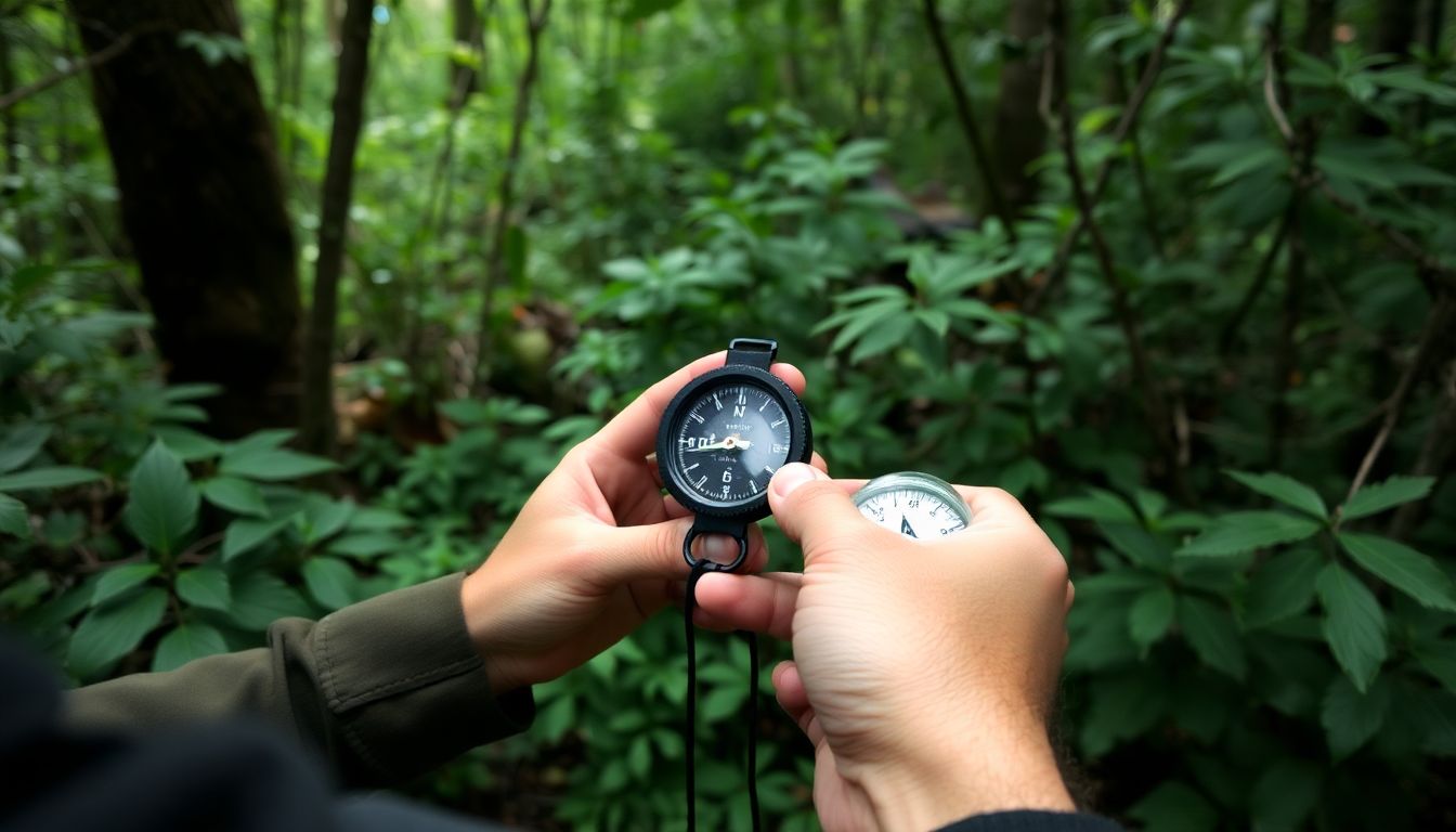
Maintaining a consistent course is equally important. In open water, this can be done using a compass. On land, natural features like the sun’s position, stars, or landmarks can help. For instance, in the Northern Hemisphere, the sun rises in the east and sets in the west. At midday, it’s roughly south. At night, Polaris, the North Star, can help determine north.
Factors like wind and current can significantly alter your course and speed. Wind can push you off course, while current can speed you up or slow you down. To account for these, observe their effects and adjust your estimates accordingly. For example, if you’re traveling with the current, you’ll cover more distance than you’ve traveled. If against it, less.
Dead reckoning can be applied in various terrains. In deserts, it might involve estimating distances between oases or landmarks. In forests, it could mean using a compass and counting paces between visible landmarks. In open water, it’s about estimating distances between visible points of land or using a logline to measure speed and distance.
Advanced Techniques: Using Inclinometers and Sights
In the realm of natural navigation, once you’ve mastered the basics like using the sun, stars, and landmarks, it’s time to explore more advanced techniques. Two such methods involve the use of improvised inclinometers and simple sights. Let’s delve into these techniques, their advantages, disadvantages, and when to employ them in a survival situation.
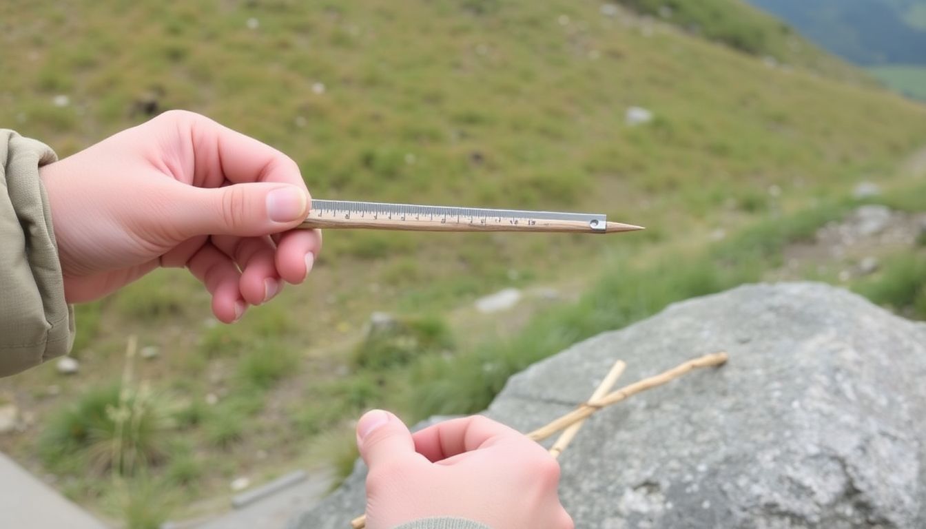
An inclinometer is an instrument used to measure angles of slope, and in a survival context, you can create an improvised one using a simple plumb bob and a protractor. By suspending the plumb bob from a height and measuring the angle it makes with the ground, you can determine the slope’s steepness. This is particularly useful in mountainous terrain or when navigating through rough, hilly areas. However, it’s important to note that this method requires a certain level of precision and practice to ensure accurate readings.
Another advanced technique involves creating simple sights to estimate direction. This can be as simple as using a stick and a shadow, or as sophisticated as a homemade sun compass. The stick-and-shadow method, for instance, involves placing a stick vertically into the ground and marking the tip of its shadow. Waiting for a few minutes and marking the new shadow tip will give you a line of direction. The angle between this line and north can be estimated using the sun’s position in the sky. While this method is quite accurate, it’s also time-consuming and requires clear skies.
Both these techniques have their pros and cons. Improvised inclinometers provide valuable slope information but require practice and precision. Simple sights, on the other hand, offer accurate directional estimates but are weather-dependent and time-consuming. In a survival situation, the choice between these techniques would depend on your specific needs, the terrain, and the weather conditions. For instance, if you’re navigating through hilly terrain and need to know the slope to plan your route, an inclinometer would be more useful. Conversely, if you’re in an open area with clear skies and need to find your direction, a simple sight would be more appropriate.
In conclusion, while these advanced techniques require more skill and practice, they can significantly enhance your natural navigation capabilities. Like any other skill, the key lies in understanding their nuances, practicing them regularly, and knowing when to use them.
Practice Makes Perfect: Developing Your Navigation Skills
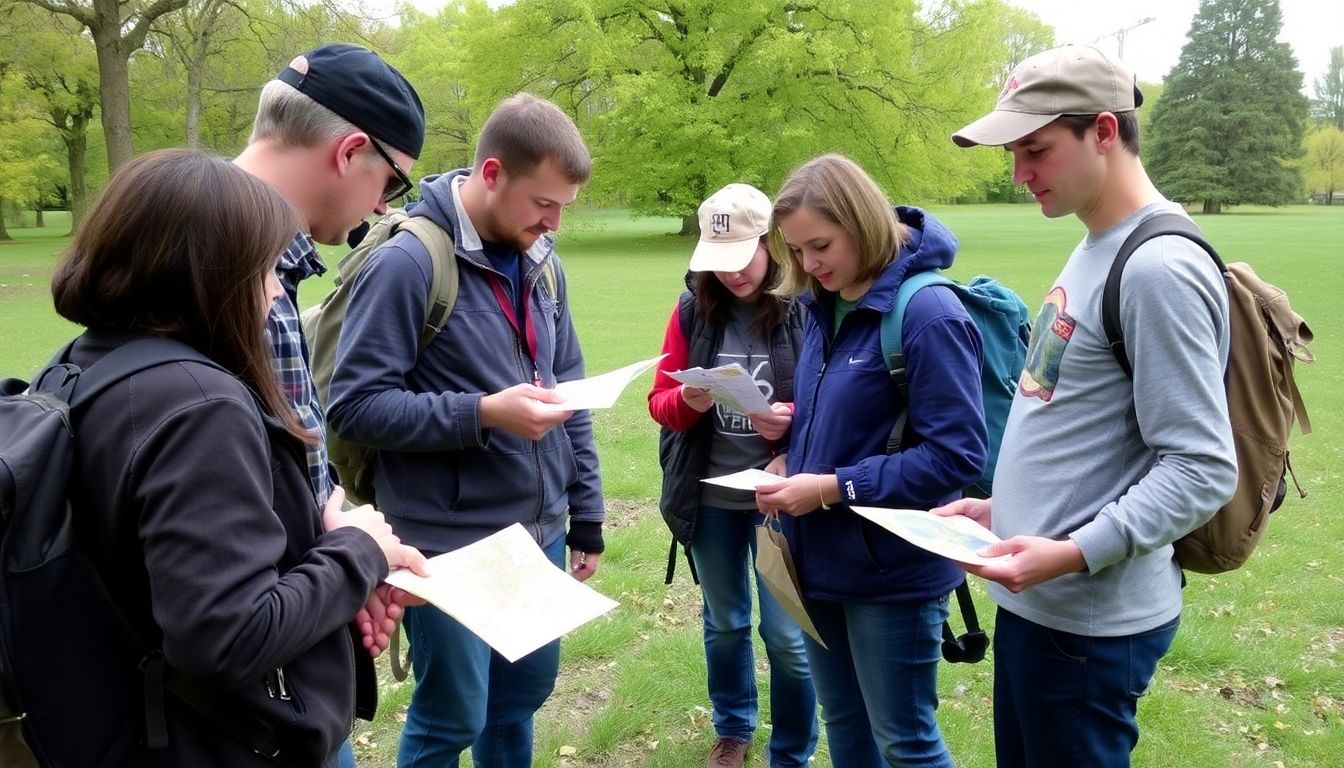
Embarking on a journey without the crutch of GPS or a map might seem daunting, but with regular practice, you can hone your natural navigation skills and become a confident explorer. Navigation is a perishable skill, much like riding a bicycle; it improves with use and atrophies with neglect. Regular practice helps you develop a keen sense of direction, distance, and terrain, enabling you to navigate with ease and confidence.
The art of navigation is a blend of science and intuition. It involves understanding the sun’s path, recognizing landmarks, reading the landscape, and using simple tools like a compass. Here are some practical exercises and real-world scenarios to help you develop your navigation skills:
- Sun Compass: Use the sun’s position to determine the cardinal directions. In the Northern Hemisphere, the sun rises in the east and sets in the west. In the Southern Hemisphere, it’s the opposite. Practice this skill daily, even in overcast conditions, as the sun’s position can still be inferred from the light’s direction.
- Landmark Navigation: Choose a familiar route and try to navigate it using only landmarks. This could be a tree, a rock formation, or a specific building. Start with short distances and gradually increase as your confidence grows.
- Compass Work: Practice using a compass to follow a bearing. Start by walking in a straight line, then check your progress with the compass. This helps you understand how to maintain a consistent direction.
- Grid Reference Systems: Learn to use a grid reference system, like UTM or OSGB, to pinpoint your location on a map. Practice converting between different systems to enhance your understanding.
- Night Navigation: Navigate at night using a red-light torch to preserve your night vision. This helps you develop your intuition for navigating in the dark.
- Real-World Scenarios: Apply your skills in real-world situations. Go for a hike without a map, or navigate your way through an unfamiliar city using only your wits and a compass. Always ensure you have a backup plan and let someone know your route and estimated return time.
Remember, practice makes perfect. The more you navigate, the more intuitive it becomes. So, get out there, explore, and enjoy the journey. Your confidence and competence will grow with each step.
FAQ
What is wilderness orientation and why is it important for survival navigation?
How can I determine my direction without a compass?
What are some natural navigation techniques using the sky?
How can I use landmarks for navigation?
What is the importance of setting a pace count for navigation?
How can I use a map and compass together for navigation?
- First, identify your starting point and your destination on the map.
- Determine your direction of travel (bearing) using a compass. To do this, hold the compass flat, point the direction of travel arrow towards your destination, and rotate the bezel (the outer ring) until the north-south lines on the map align with the north-south lines on the compass.
- Walk in the direction indicated by the compass, keeping the needle aligned with the north-south lines on the compass.
- Periodically, check your progress on the map to ensure you’re staying on course.
- When you reach a landmark or intersection, take a new bearing and continue your journey.
What should I do if I get lost while navigating?
- Stop and assess your situation. Look around for any familiar landmarks or features that might help you determine your location.
- If you have a map and compass, use them to try and pinpoint your location and find the best way back to your starting point or destination.
- If you’re with a group, stay together and discuss your options. If you’re alone, consider staying put until help arrives, as moving can make it harder for search parties to find you.
- If you decide to move, try to retrace your steps to the last point where you knew you were on the right track. If that’s not possible, choose a direction and move in a straight line, using natural navigation techniques to maintain your course.
- If you have a signal device, like a whistle or a mirror, use it to attract attention. If you have a cell phone, try to get a signal and call for help.


