Welcome to our in-depth exploration of the devastating 2021 flood in Nepal’s Melamchi Valley. This article delves into the cutting-edge research conducted by scientists at the USC Dornsife College of Letters, Arts and Sciences, revealing the intricate web of factors that led to this catastrophe. Join us as we uncover the secrets behind this natural disaster and discuss how this knowledge can help prevent future tragedies.
USC Dornsife College of Letters, Arts and Sciences unveils the deadly combination of factors behind Nepal’s 2021 flood
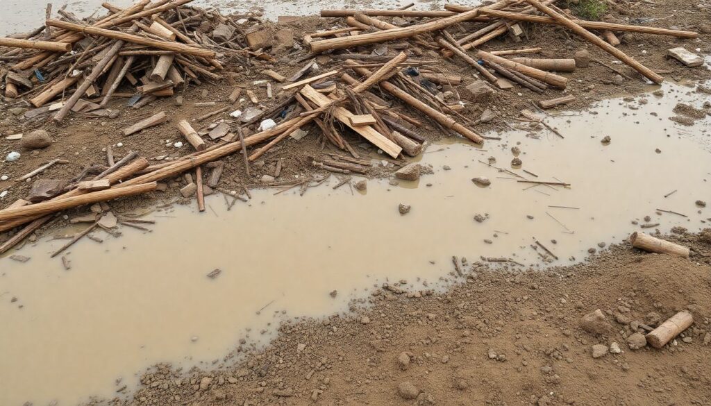
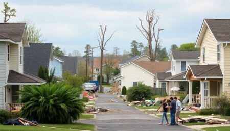
Imagine a landscape once lush and green, now unrecognizable, submerged beneath an angry, churning sea of muddy water. This is the Melamchi Valley in Nepal, 2021, where the once life-giving river has turned into a raging beast, claiming everything in its path. The floodwater is not clear nor blue, but a sickening hue of brown, filled with the remnants of lives it has uprooted—trees, houses, roads, all reduced to mere debris.
The valley, known for its terraced farms and picturesque villages, is now a sprawling lake of devastation. Houses, once havens of warmth and love, are now rooftops peeking above the waterline, if they’re lucky. Others have been swept away entirely, their foundations barely discernible under the muddy deluge.
Everywhere you look, there’s destruction. Mudslides scar the hillsides, a testament to the force that has ravaged the land. The air is filled with the cries of the displaced, the scent of loss, and the heavy silence of dreams washed away. This is the aftermath of the Melamchi Valley flood, a stark reminder of nature’s unpredictable fury.
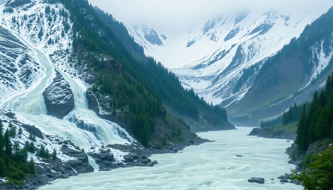
The Perfect Storm: Factors Behind the Flood
The USC Dornsife research on the 2021 Melamchi Valley flood disaster in Nepal revealed a catastrophic convergence of natural events that led to an unprecedented tragedy. The study highlighted that a combination of exceptionally heavy monsoon rainfall and excessive snowmelt from the surrounding mountains created a catastrophic volume of water that the Melamchi River could not contain.
The research also emphasized the role of unstable terrain in exacerbating the disaster. The Melamchi Valley, known for its steep slopes and fragile geology, was particularly vulnerable to landslides and erosion. The excessive water from the rain and snowmelt further destabilized the terrain, leading to massive landslides that blocked river channels and released sudden, powerful floods downstream.
Key findings of the study include:
- The monsoon rainfall in 2021 was 2.5 times higher than the average annual rainfall in the Melamchi Valley.
- The snowmelt contributed to an additional 30% increase in water volume, overwhelming the river’s capacity.
- The unstable terrain resulted in multiple landslides, with some areas experiencing slides that were up to 50 meters deep.
The USC Dornsife research underscores the critical need for better preparedness and infrastructure to manage extreme weather events and geological instability. The study recommends implementing early warning systems, strengthening infrastructure, and developing community awareness programs to mitigate the impacts of similar disasters in the future. By understanding the complex interplay of heavy rainfall, snowmelt, and unstable terrain, Nepal can better prepare for and respond to potential flood disasters.
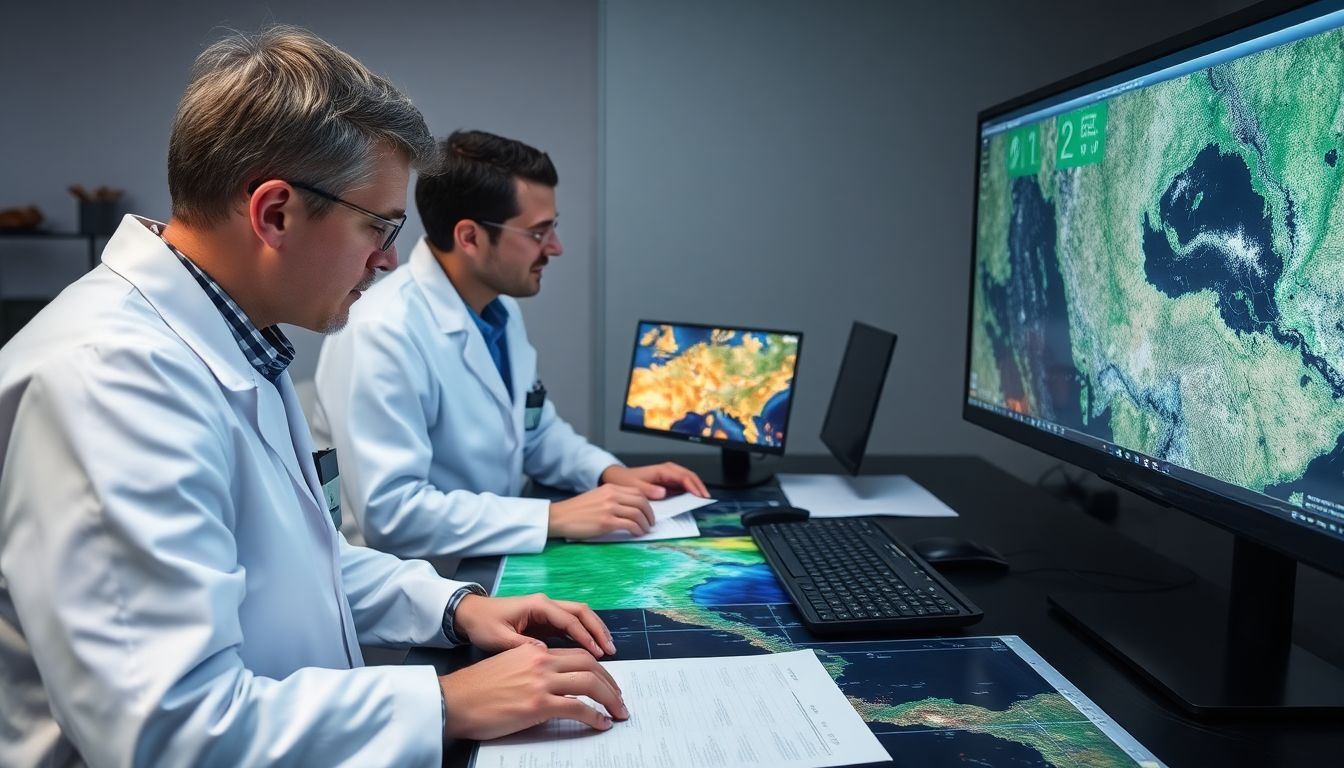
Technology in Action: Mapping the Disaster
In the cutting-edge realm of environmental monitoring, researchers have harnessed the power of high-resolution satellite imagery to revolutionize how we track and respond to landscape changes. These satellites, equipped with advanced sensors, capture detailed images of Earth’s surface, allowing scientists to observe changes in topography, vegetation, and water bodies with unprecedented precision. By comparing images taken at different times, researchers can map the extent and pace of landscape changes, such as deforestation, urbanization, and coastal erosion.
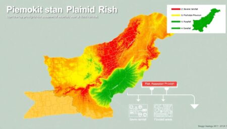
To create a dynamic and interactive map of Earth’s ever-changing surface, researchers turned to Digital Elevation Models (DEMs). DEMs are 3D representations of terrain, generated from satellite data, that illustrate the elevation of different points on the ground. By integrating DEMs with satellite imagery, researchers can create comprehensive models that not only show horizontal landscape changes but also vertical ones. This combination enables scientists to measure the height of a flood or the depth of a landslide, adding a crucial dimension to their analysis.
The fusion of satellite imagery and DEMs has led to the development of sophisticated early-warning systems for natural disasters. By continuously monitoring Earth’s surface, these systems can detect subtle changes that may foreshadow a catastrophic event. For instance, they can identify:
- Ground swelling that precedes a volcanic eruption
- Minor elevation changes that hint at an impending landslide
- Snowmelt or heavy rainfall that could lead to flooding
These early-warning systems provide invaluable time for authorities to issue alerts and implement safety measures.
In the realm of flood preparedness, the integration of satellite imagery and digital models has been a game-changer. By analyzing historical flood data and simulating different flood scenarios, researchers can predict inundation patterns and pinpoint areas most at risk. This information is invaluable for urban planners and emergency responders, helping them to:
- Design and implement effective flood defenses
- Develop evacuation plans
- Allocate resources more efficiently
Moreover, real-time monitoring during flood events enables quicker and more targeted responses, minimizing damage and saving lives.

Lessons Learned: Preparing for Future Floods
The findings of this study have profound implications for disaster management, offering a critical lens through which policymakers can reassess and enhance preparedness strategies.
Firstly, the study’s data can significantly inform land use planning. By identifying areas most vulnerable to disasters, policymakers can implement stricter building codes, zones designated for specific uses, and even relocate high-risk communities. This proactive approach could mitigate potential damage and loss of life. For instance, low-lying coastal regions prone to flooding could be rezoned for agricultural or conservation purposes rather than residential or commercial developments.
Secondly, the research underscores the need for infrastructure planning that accounts for potential disasters. Infrastructure such as roads, bridges, and hospitals must be designed to withstand foreseeable hazards. Policymakers should use the study’s data to:
- Prioritize the fortification of existing infrastructure
- Plan future developments in lower-risk areas
- Ensure critical services remain functional during and after disasters
.
Moreover, the study emphasizes the importance of integrated disaster management systems. By utilizing the data, emergency management agencies can improve early warning systems, enhance evacuation plans, and coordinate response efforts more effectively. Policymakers can foster interagency collaboration and community engagement, ensuring that all stakeholders are prepared and informed. Investing in public education and awareness campaigns can also bolster community resilience, empowering individuals to act swiftly and safely in case of a disaster.

Global Implications: A Wake-Up Call
The implications of this study reach far beyond the borders of any one region, sounding an alarm for flood-prone areas worldwide. As climate change continues to redraw the maps of our coastlines and riverbanks, communities from Bangladesh to Brazil are waking up to the reality of increased flooding risks. This isn’t just a problem for the future; it’s a crisis that’s already here, with millions of people worldwide displaced or affected by floods each year.
The study underscores the urgent need for greater awareness of flood risks, especially in vulnerable communities. It’s not just about knowing that floods may come; it’s about understanding their potential frequency and severity. This awareness is the first step in galvanizing communities, governments, and international organizations to take meaningful action. Without it, we’re all just sitting ducks, waiting for the next storm to hit.
But awareness is only half the battle. The study also highlights the critical need for preparedness. This means early warning systems, infrastructure upgrades, urban planning, and education. It means building homes that can withstand floods, creating emergency response plans, and ensuring that everyone knows what to do when the waters rise. Preparedness isn’t a luxury; it’s a necessity that can save lives and mitigate the economic fallout from floods.
In the face of climate change, every region, every community, every individual has a role to play. Here’s what that might look like:
- Governments can invest in resilient infrastructure and enforce building codes that minimize flood risk.
- Communities can come together to create emergency response plans and support each other in times of need.
- Individuals can educate themselves about flood risks in their area and take steps to protect their homes and families.
The challenge is monumental, but so too is the cost of inaction. It’s time to roll up our sleeves and get to work, because the waters are rising, and we’re all in this together.
FAQ
What were the main causes of the 2021 Melamchi Valley flood?
How did the researchers study the flood’s impact?
What are the implications of this study for future flood preparedness?
How can this research help other regions at risk of flooding?
What steps can communities take to prepare for future floods?
- Implement early-warning systems based on detailed flood analysis.
- Inform land use and infrastructure planning with data from flood studies.
- Increase public awareness of flood risks, especially in vulnerable regions.
- Prepare emergency response plans and resources.
- Promotesustainable land use practices to reduce the impact of future floods.


