Welcome to our engaging exploration of earthquakes and their impact on our world! In this article, we’ll dive into the fascinating dynamics of the lithosphere, the science behind seismic hazards, and how we can prevent disasters. Join us on this playful yet informative journey as we uncover the mysteries of earthquakes and discover how knowledge and preparedness can make all the difference.
Unveiling the science behind seismic hazards and how we can prevent disasters.
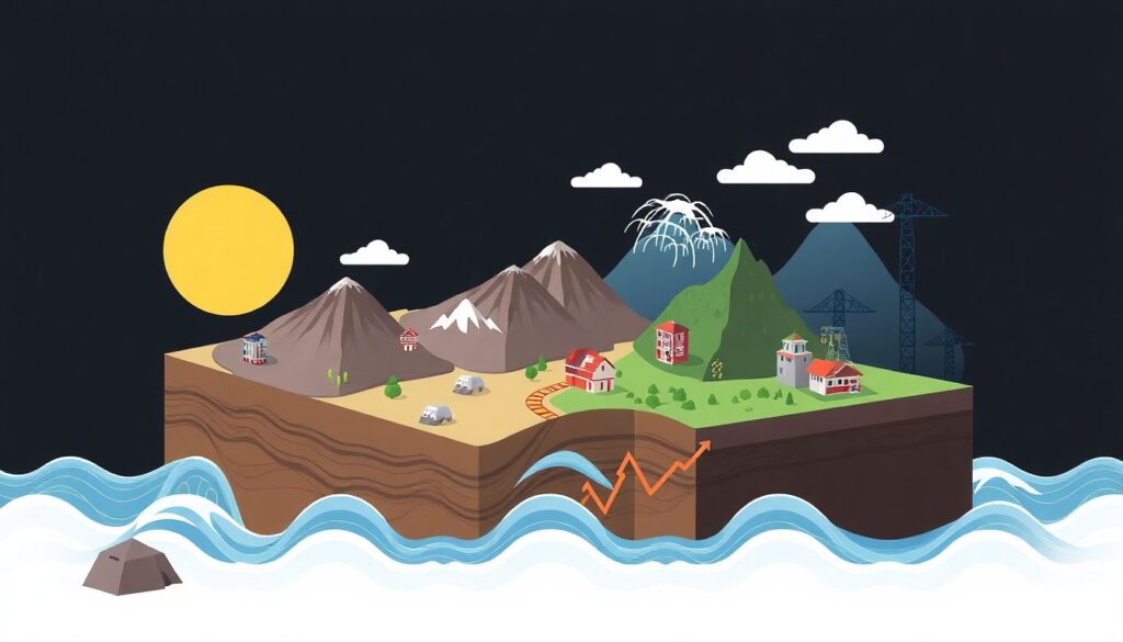
Imagine a vivid, cross-sectional view of the Earth’s crust, revealing the colossal tectonic plates that float atop the molten asthenosphere. These plates, depicted in contrasting colors, are not static but dynamic, their jagged edges grinding and colliding, capturing the relentless forces of earthquake dynamics. The image is a freeze-frame of the constant dance between constructive and destructive forces, with arrows and vectors illustrating the directions of these titanic shifts.
From the epicenter of this subterranean ballet, seismic waves radiate outwards in concentric circles, much like the ripples from a stone dropped in water. These waves, drawn as pulsating lines of energy, vary in amplitude and frequency, showcasing the different types of seismic waves – the swift P-waves, the undulating S-waves, and the slow-moving but devastating surface waves. This visual representation of seismic activity is not just a geological snapshot, but a testament to the Earth’s restless heartbeat.
Rising above this tumultuous underground scene is a bustling cityscape, a beacon of human resilience and innovation. Skyscrapers built with advanced earthquake-resistant technologies stand tall, their foundations deeply anchored into the bedrock. Flexible building materials and smart damping systems are highlighted in cut-away sections, illustrating how modern infrastructure can absorb and dissipate seismic energy. Surrounding the city are green belts and open spaces, serving as both recreational areas and safety zones in case of an earthquake. The image is a harmonious blend of natural forces and human ingenuity, a visual narrative of disaster prevention and urban resilience.
Understanding Earthquakes
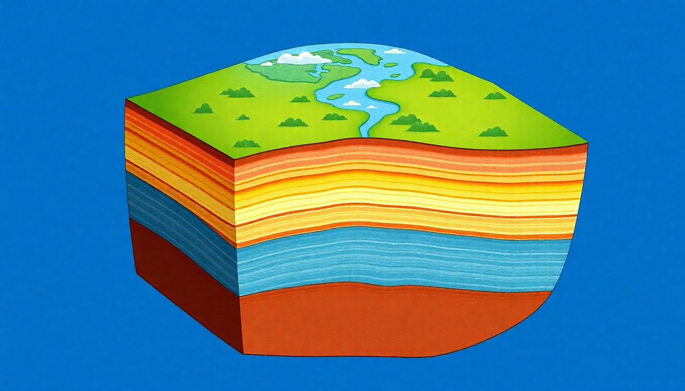
Imagine the Earth as a giant, dynamic jigsaw puzzle. This puzzle is made up of tectonic plates, massive slabs of solid rock that float on the planet’s molten interior. These plates are always on the move, even if it’s too slow for us to perceive. Now, picture these plates bumping into each other, sliding past, or moving apart. These interactions are what cause earthquakes, a sudden release of energy that shakes the ground and can leave devastation in its wake.
Earthquakes come in various types, each with its own personality. There are four major types:
- Tectonic earthquakes: These are the most common and occur due to the movement of tectonic plates.
- Volcanic earthquakes: These happen in conjunction with volcanic activity.
- Collapse earthquakes: These are caused by the sudden collapse of land, often in underground mines or caverns.
- Explosion earthquakes: These are the result of human activities like nuclear tests or large-scale chemical explosions.
Now, let’s dive into the science behind earthquakes. Earthquakes occur along faults, fractures in the Earth’s crust where tectonic plates meet. When these plates move, the rocks on either side of the fault are strained and eventually break, releasing a burst of energy. This energy radiates outward in the form of seismic waves, which make the ground shake.
Seismic waves come in different flavors too:
- P-waves or Primary waves: These are the fastest and can move through solids, liquids, and gases.
- S-waves or Secondary waves: These are slower and can only move through solids.
- Surface waves: These are the slowest but cause the most damage as they move along the Earth’s surface.
Understanding these waves is crucial for scientists as they help them paint a picture of the Earth’s interior and better understand the mechanisms behind earthquakes.
The Impact of Earthquakes
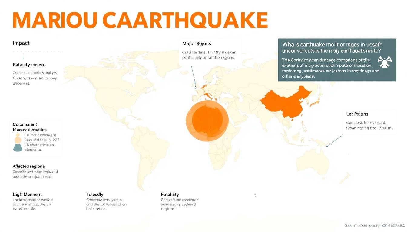
Earthquakes, a brutal display of the Earth’s power, have left indelible marks on society throughout history. One of the deadliest ever recorded was the 1556 Shaanxi earthquake in China, which claimed an estimated 830,000 lives. The catastrophic 1960 Valdivia earthquake in Chile, the most powerful ever recorded at a magnitude of 9.5, caused significant damage and triggered a series of tsunamis that affected coastal cities as far away as Japan and the Philippines.
The economic toll of earthquakes is equally devastating. The 2011 Tohoku earthquake in Japan, with a magnitude of 9.0-9.1, resulted in over $360 billion in damages, making it the costliest natural disaster in history. The earthquake not only caused immense infrastructure damage but also led to the Fukushima Daiichi nuclear disaster, which has had lasting environmental and economic impacts. Similarly, the 2008 Sichuan earthquake in China, measuring 8.0 in magnitude, caused an estimated $150 billion in damages and left millions homeless.
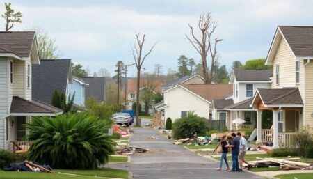
Earthquakes also have long-term societal impacts, affecting public health, infrastructure, and community psyche. For instance, the 2010 Haiti earthquake, with a magnitude of 7.0, resulted in an estimated 220,000 deaths and left around 1.5 million people homeless. The cholera outbreak that followed further exacerbated the public health crisis. Infrastructure damage can set back a region’s development by years, if not decades. The emotional trauma can linger even longer, affecting mental health and community cohesion.
To mitigate the impacts of earthquakes, societies have begun investing in early warning systems, resilient infrastructure, and public education. Some interesting facts and figures include:
- California’s earthquake early warning system, ShakeAlert, can provide up to 20 seconds of warning before strong shaking begins.
- Japan’s advanced earthquake early warning system can provide alerts within seconds of a detected earthquake.
- The Great California ShakeOut, an annual earthquake drill, involved over 10.9 million participants in 2021, promoting preparedness and safety.

Preventing Disasters
In the realm of earthquake monitoring, advancements in technology are revolutionizing our ability to detect and respond to seismic events. The latest monitoring systems leverage a network of highly sensitive sensors and advanced algorithms to provide real-time data. One such innovation is the use of fiber-optic cables as seismic sensors, which can detect ground movements with unprecedented precision. This technology has been successfully implemented in cities like Mexico City, where it has significantly enhanced the accuracy of earthquake detection.
Early warning systems are another critical component in mitigating the impact of earthquakes. These systems use data from monitoring networks to issue alerts seconds to minutes before the onset of strong shaking. A shining example is Japan’s Earthquake Early Warning (EEW) system, which has been credited with saving countless lives. The system sends alerts to mobile phones, broadcasts, and public transportation, allowing people to take immediate action. Similarly, the United States’ ShakeAlert system is gaining traction, with successful implementations in California, Oregon, and Washington.
Resilient infrastructure is essential for minimizing damage and ensuring quick recovery post-earthquake. Innovative solutions include the use of base isolation and damping systems in building design. These technologies help decouple a structure from the ground, reducing the impact of seismic waves. A notable success story is the San Francisco International Airport, which employed base isolation techniques to protect its terminals from earthquake damage. Additionally, the use of smart materials that can self-heal or adapt to stress is being explored to create more resilient structures.
The integration of these advancements is creating a comprehensive approach to earthquake preparedness. For instance, the city of Istanbul has implemented a multi-faceted strategy that includes:
- An extensive network of seismic sensors
- An early warning system that alerts residents via SMS and mobile apps
- Building codes that mandate the use of resilient construction techniques
This holistic approach serves as a model for other cities looking to enhance their earthquake resilience. As technology continues to evolve, we can expect even more innovative solutions to emerge, further enhancing our ability to monitor, prepare for, and respond to earthquakes.
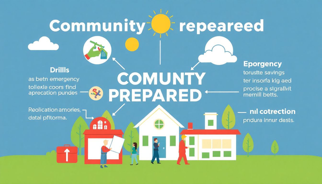
Community Preparedness
In the face of natural disasters, community preparedness and education play a pivotal role in disaster risk reduction. Being proactive rather than reactive can significantly mitigate the impact of disasters, saving lives and minimizing damage. When communities are well-informed and prepared, they are better equipped to respond effectively during emergencies. Education empowers individuals to understand the risks they face, develop emergency plans, and know how to execute them when the need arises. This collective awareness fosters a culture of resilience, ensuring that communities can bounce back stronger after a disaster.
To enhance community preparedness, it’s essential to start with individual awareness. Each person should take the initiative to learn about the types of disasters that are common in their area, whether it’s floods, earthquakes, hurricanes, or wildfires. Here are some tips to get started:
- Attend local workshops and training sessions offered by emergency management agencies.
- Join community emergency response teams (CERT) to gain practical skills in disaster response.
- Develop a family emergency plan that includes evacuation routes, meeting points, and communication strategies.
- Assemble an emergency supply kit with essentials like food, water, first aid supplies, and important documents.
Community engagement is equally crucial. Neighborhoods that work together are more resilient during disasters. Here are some ways to foster community preparedness:
- Organize community meetings to discuss disaster risks and preparedness strategies.
- Establish a neighborhood watch or community emergency response team.
- Participate in local drills and simulations to practice emergency responses.
- Share information and resources with neighbors, especially those who may need extra assistance, such as the elderly or individuals with disabilities.
There are numerous resources available to help individuals and communities enhance their preparedness and education efforts. The Federal Emergency Management Agency (FEMA) offers a wealth of information, including guides on creating emergency plans and supply kits. The American Red Cross provides training courses and resources for disaster preparedness. Additionally, local emergency management offices often have tailored resources and programs for their specific communities. By leveraging these resources, communities can significantly enhance their preparedness and resilience in the face of disasters.
FAQ
What causes earthquakes?
How are earthquakes measured?
What are some common myths about earthquakes?
- California will eventually fall into the ocean: False. While California is at risk of earthquakes, it will not sink into the ocean.
- Earthquakes are more likely during certain weather conditions: False. Earthquakes occur independently of weather conditions.
- Animals can predict earthquakes: While some animals may sense subtle precursors, there is no scientific evidence that they can reliably predict earthquakes.
How can communities prepare for earthquakes?
- Develop and practice an emergency plan.
- Create an emergency supply kit.
- Secure heavy furniture and appliances.
- Participate in community drills and education programs.
- Stay informed about local earthquake risks and preparedness efforts.
What are some innovative technologies for earthquake monitoring?
- Seismic networks: Advanced networks of seismometers that provide real-time data.
- GPS monitoring: Using GPS to track subtle movements of the Earth’s crust.
- Earthquake early warning systems: Systems that detect the initial waves of an earthquake and provide early warnings.
- Satellite imagery: Using satellite data to monitor ground deformation and identify potential hazards.


