Vermont, known for its lush landscapes and tranquil environments, has been facing an increasingly frequent challenge: flooding. This issue is a complex interplay of geographical, climatic, and infrastructural factors. As experts warn that this could become the norm, it’s crucial to understand the underlying causes and potential solutions. Let’s dive into the intricate world of Vermont’s flooding problems.
It’s Complicated, but Experts Warn It Could Become the Norm
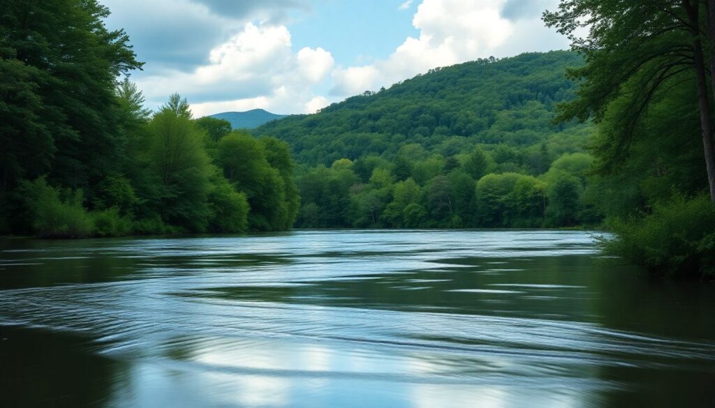
Imagine the rolling green hills of Vermont, a patchwork quilt of meadows and forests stretching out under the vast, cerulean sky. The landscape is a symphony of tranquility, with rustic barns dotting the countryside and silver maples reflecting off the glassy surfaces of peaceful streams. It’s a scene straight out of a painter’s dream, where the quietude is broken only by the gentle lowing of cows and the occasional chirp of a songbird.
Yet, look a bit closer, and you’ll notice the rivers brimming just a tad higher than usual, their waters kissing the undersides of old wooden bridges. The air is thick with a subtle tension, a whisper of the force that nature can bring to bear. There’s a duality here, in this picturesque scene, a harmony of beauty and potential danger.
Vermont is a state of two faces, much like the impending flood waters that lap gently at the shores before their inevitable rise. It is a place of breathtaking beauty, of serene landscapes that soothe the soul. But it is also a state grappling with the challenges of a changing climate, where the calm of the countryside can be disrupted by the raw, unpredictable power of nature.
Geographical Factors
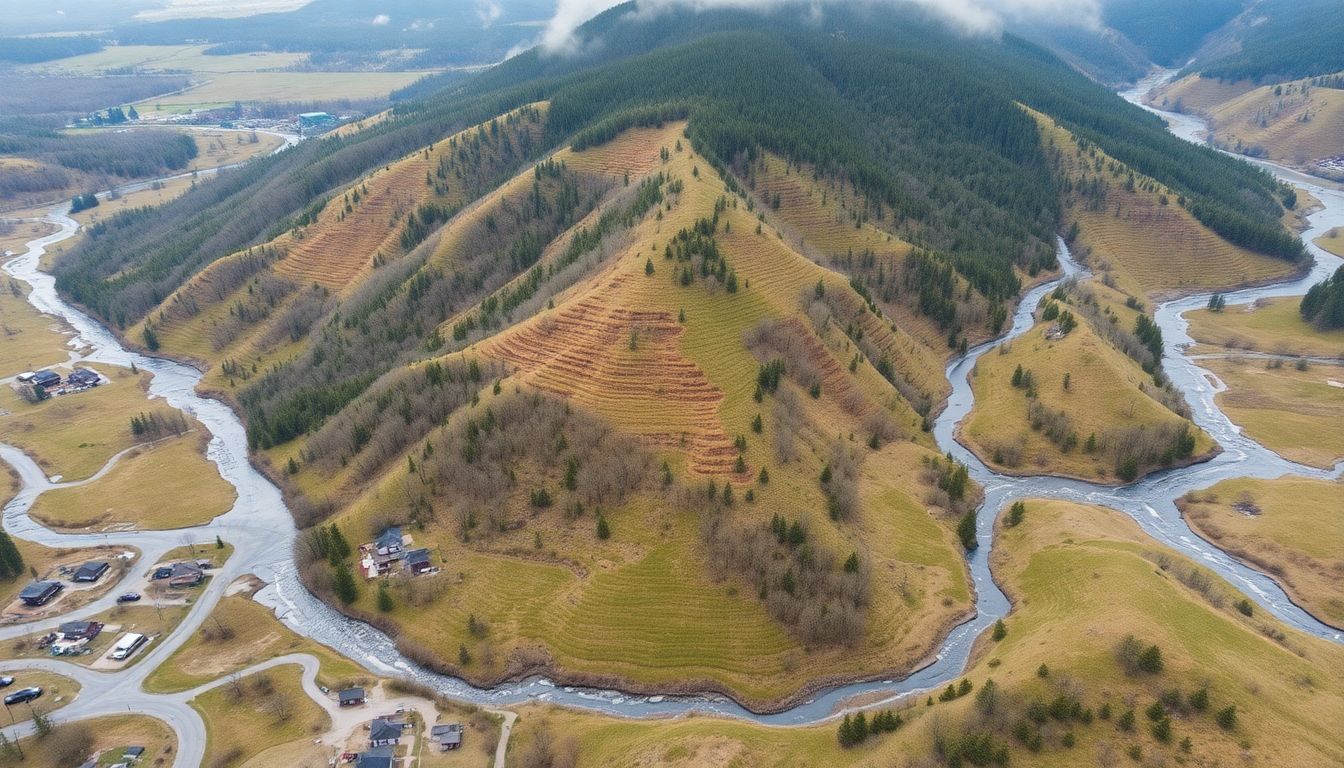
Nestled in the heart of New England, Vermont is a state known for its stunning landscapes and vibrant foliage. However, its unique geographical features also make it particularly vulnerable to flooding. Vermont’s topography is characterized by the Green Mountains, which run down the center of the state. This mountain range, while providing breathtaking views, also creates steep slopes and narrow valleys. When heavy rainfall occurs, water quickly flows down these slopes, converging in the valleys and causing rivers to swell and overflow their banks.
The state’s river systems also play a significant role in its flooding issues. Vermont is home to numerous rivers, including the Connecticut River, which forms its eastern border, and the Lake Champlain Basin, which drains nearly half of the state. These river systems, while crucial for the state’s ecosystem and economy, can become destructive forces during periods of heavy rainfall or snowmelt. The rivers can quickly reach their capacity, leading to widespread flooding in adjacent communities.
Soil composition is another factor that contributes to Vermont’s flooding problems. The state’s soil is largely composed of glacial till, a mixture of clay, sand, and boulders deposited by glaciers thousands of years ago. While this soil is rich in nutrients, it has a low infiltration rate, meaning it doesn’t absorb water quickly. This is especially true when the soil is already saturated from previous rainfall. When heavy rain falls on this saturated soil, the water has nowhere to go but downstream, exacerbating flooding issues.
Moreover, Vermont’s geography is dotted with numerous small streams and brooks that feed into the larger river systems. These smaller water bodies can quickly become torrents during heavy rainfall, leading to localized flooding. It’s not uncommon for these streams to transform into raging rivers, causing significant damage to infrastructure and property. This unique combination of topography, river systems, and soil composition makes Vermont particularly prone to flooding, requiring constant vigilance and robust flood management strategies.
Climatic Changes
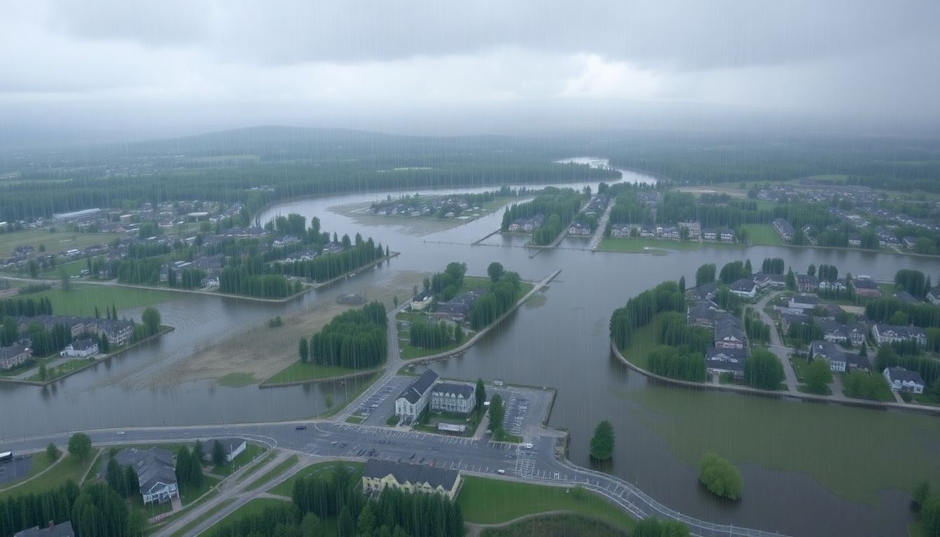
In the heart of New England, Vermont, known for its picturesque landscapes and vibrant foliage, is grappling with an increasingly urgent issue: flooding. Climate change, the most pressing environmental challenge of our time, is exacerbating this problem, reshaping the state’s water dynamics and posing new threats to its communities and infrastructure. The Green Mountain State, long accustomed to its fair share of precipitation, is now experiencing rainstorms of greater frequency and intensity, a trend that climate scientists have firmly linked to the warming planet.
The changing climate is fueling a alarming hydrological shift in Vermont. Warmer temperatures are supercharging the atmosphere with more moisture, leading to more frequent and intense downpours. The National Oceanic and Atmospheric Administration (NOAA) reports that the Northeast has seen a 71% increase in very heavy precipitation events since the 1950s, a trend that is expected to continue. These torrential rains often exceed the capacity of rivers, streams, and local drainage systems, leading to flash floods that can cause significant damage to homes, businesses, and vital infrastructure.
The impact of melting snow, another consequence of rising temperatures, compounds Vermont’s flooding woes. As the state’s famous snowpacks melt earlier and faster, they contribute to heightened water levels in spring and summer months. This shift in meltwater timing can lead to a cruel confluence of events, where snowmelt runoff combines with heavy spring rains to create particularly severe flooding episodes. The catastrophic 2011 Vermont floods, which caused an estimated $733 million in damage, were exacerbated by this very combination of heavy rain and snowmelt.
Climate change is not just amplifying the magnitude of Vermont’s flooding problems; it’s also altering the very nature of the state’s water cycle. To adapt to these new realities, Vermont communities are increasingly investing in resilient infrastructure and flood mitigation strategies. From culvert upgrades to floodplain restorations, these measures aim to better manage stormwater and reduce flood risk. Yet, even as these efforts mount, it’s clear that Vermont, like many other places around the world, is grappling with the profound challenges posed by our changing climate.
Infrastructural Challenges
In the heart of New England, Vermont is known for its lush landscapes and scenic beauty. However, the state’s aging infrastructure is increasingly at odds with its picturesque image, particularly when it comes to flooding. Severe weather events have become more frequent and intense, exacerbating the pressures on Vermont’s dated dams, levees, and drainage systems. These infrastructural issues are not merely inconveniences; they pose significant threats to public safety, property, and the state’s economic well-being.
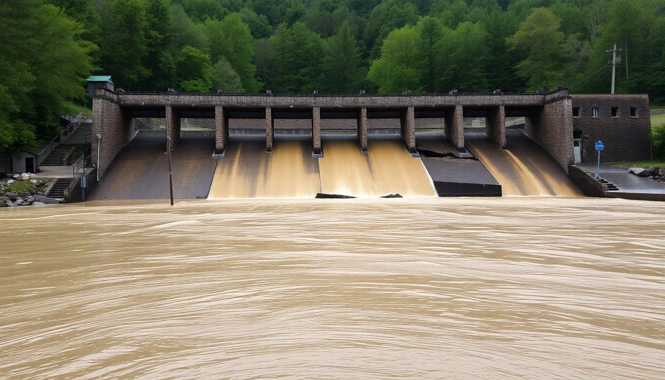
Let’s zoom in on the aging dams. Vermont has a substantial number of dams, many of which were constructed decades ago and are now showing signs of wear and tear. These dams were originally built for various purposes such as hydroelectric power, flood control, and recreation. However, with age, their effectiveness has diminished. According to the Vermont Dam Safety Program, there are over 1,000 dams in the state, with many classified as ‘high hazard,’ meaning their failure could result in loss of life and significant property damage. The maintenance and upgrade of these dams are crucial, yet often overlooked due to budget constraints and lack of public awareness.
Next on the list are Vermont’s levees and drainage systems, which are equally antiquated. Many of these systems were built in the early to mid-20th century and were not designed to handle the increased volume and intensity of today’s rainfall events. Some of the key issues include:
-
Clogged and outdated pipes:
Drainage systems are often clogged with sediment and debris, reducing their capacity to handle water flow.
-
Inadequate levees:
Many levees do not meet current federal standards and are at risk of failure during high water events.
-
Urban sprawl:
Increased impervious surfaces, such as parking lots and roads, have led to higher runoff rates, further straining these systems.
To tackle these challenges, Vermont must invest in modern infrastructure solutions. This includes not only the repair and upgrade of existing dams, levees, and drainage systems but also the implementation of innovative approaches such as:
-
Green infrastructure:
The use of natural and nature-based features, like wetlands and rain gardens, to manage stormwater.
-
Smart technologies:
Incorporating sensors and data analytics to monitor and predict flooding in real-time.
-
Community engagement:
Educating the public about flood risks and preparedness, and involving them in local resilience efforts.
By embracing these solutions, Vermont can transform its aging infrastructure into a resilient, sustainable network ready to face the challenges of the 21st century.
Community Resilience and Preparedness
In the lush, green state of Vermont, nestled between the Green Mountains and Lake Champlain, flooding is a recurrent challenge that communities face. From tropical storms like Irene in 2011 to the persistent threat of snowmelt and ice jam flooding, the need for community resilience and preparedness is paramount. Community resilience, the ability to absorb, adapt, and rapidly recover from disruptive events, is crucial for mitigating the impact of flooding. Preparedness, on the other hand, enables communities to anticipate and respond effectively, minimizing loss of life, property damage, and environmental degradation.
To bolster emergency response, Vermont has implemented several initiatives. The Vermont Emergency Management (VEM) division leads the charge with programs such as the Public Alert & Warning System and the Dam Safety Program. The latter ensures the integrity of dams to prevent flooding, while the former provides timely alerts to keep residents informed. Additionally, VEM’s Local Emergency Management Directors work within communities to develop and maintain Local Emergency Operations Plans, tailoring responses to specific local needs.
Public education plays a pivotal role in enhancing flood preparedness. Flood Ready Vermont, an initiative by the State of Vermont and the National Weather Service, offers a plethora of resources to educate the public about flood risks and safety measures. Through workshops, fact sheets, and interactive websites, residents learn about:
- Flood insurance and how to protect their properties
- Evacuation routes and emergency shelter locations
- Real-time flood warnings and alerts
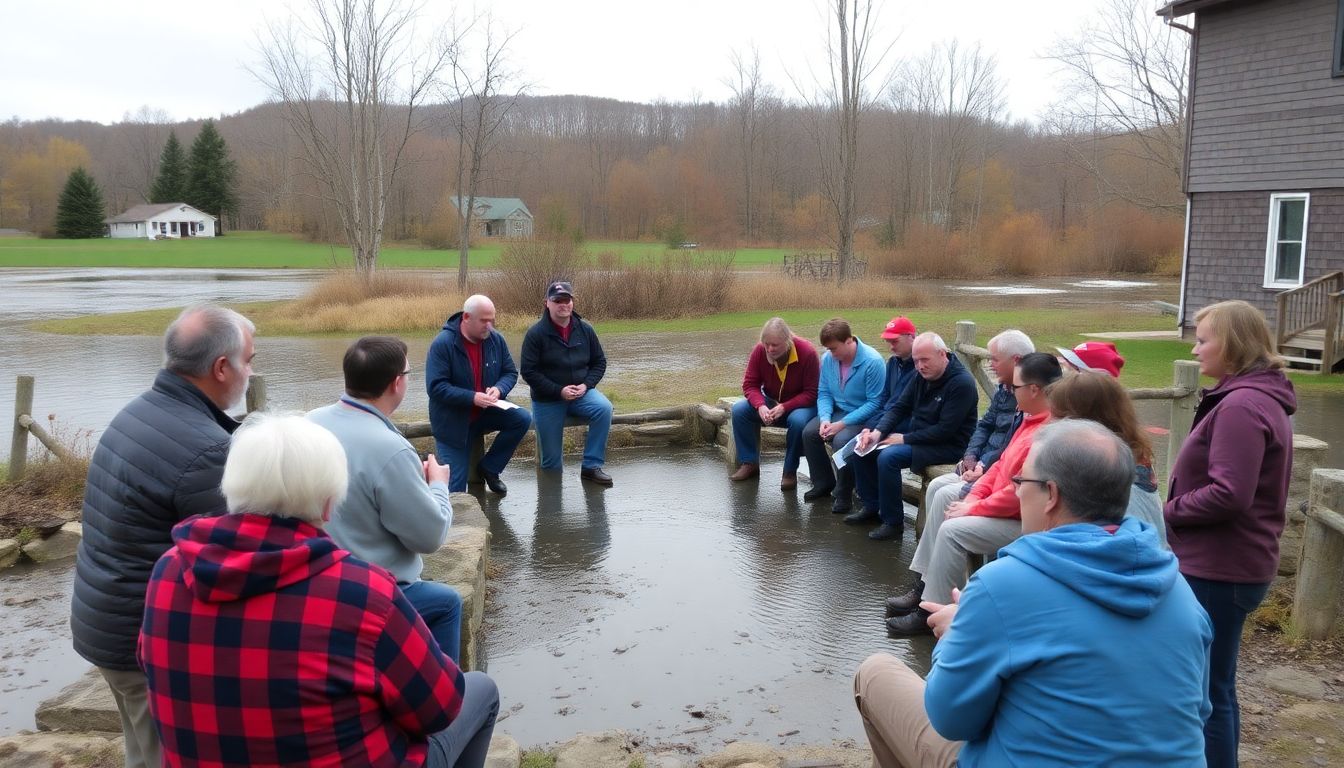
Community-driven solutions are at the heart of Vermont’s resilience strategy. The Community Resilience Organizations (CROs) program supports local groups in planning and implementing projects that address specific flooding vulnerabilities. Moreover, the Vermont Community Foundation offers grants for grassroots efforts aimed at enhancing community resilience. These initiatives empower locals to take proactive steps, fostering a sense of shared responsibility and collective action. By harnessing local knowledge and resources, Vermont’s communities are better equipped to weather the storm and bounce back stronger than ever.
FAQ
What are the main causes of flooding in Vermont?
How does climate change affect flooding in Vermont?
What are some of the infrastructural challenges contributing to flooding in Vermont?
- Aging dams and levees that are not designed to handle increased water flow.
- Outdated drainage systems that cannot effectively manage heavy rainfall.
- Lack of modern infrastructure solutions to mitigate flooding risks.
What steps can communities take to improve resilience and preparedness against flooding?
- Develop and implement comprehensive flood management plans.
- Educate residents about flood risks and emergency response procedures.
- Invest in modern infrastructure and sustainable land use practices.
- Foster community engagement and collaboration in flood mitigation efforts.


